Tel Megiddo is the site the Book of Revelation calls Armageddon — and that name alone makes it one of the most-searched archaeological destinations in Israel. In practice it is something richer than its apocalyptic reputation suggests: a meticulously excavated UNESCO World Heritage mound containing 26 distinct layers of settlement across 7,000 years, one of the most complete ancient water tunnel systems accessible to visitors anywhere in the world, and a hilltop panorama over the Jezreel Valley that makes the geography of biblical history legible.
For the visitor who arrives half-curious about the Armageddon connection and leaves fascinated by 3,000 years of Bronze and Iron Age archaeology, Megiddo delivers consistently.
The Armageddon name — what it actually means
The word “Armageddon” enters popular culture from the Book of Revelation (16:16), where the Greek “Harmageddon” is described as the site of the final eschatological battle. The name is a Greek transliteration of the Hebrew “Har Megiddo” — the hill of Megiddo.
The site’s association with battle is historically grounded: the Jezreel Valley below the tel was the site of multiple major military engagements over three millennia, and Megiddo itself was stormed by Pharaoh Thutmose III in 1457 BCE in one of the earliest battles documented by Egyptian military records. The Valley of Armageddon is not an arbitrary apocalyptic symbol — it was one of the most contested strategic plains in the ancient Near East, lying on the primary route connecting Egypt to Mesopotamia.
The scholarly framework: the Revelation passage is apocalyptic literature using place names with established military resonance — Megiddo’s reputation as a battle site is what made it a suitable literary image for a final cosmic conflict. Frame this as theological tradition and literary symbolism, not prediction.
26 layers of history — what the strata represent
Tel Megiddo was continuously occupied from approximately 4500 BCE to 332 BCE — from the late Chalcolithic period to Alexander the Great’s conquest. The mound is an archaeological layer cake: each city was built on the rubble of its predecessor, the accumulation creating a hill approximately 26 metres high above the valley floor.
The principal periods visible on the site today:
Bronze Age (3300–1200 BCE): Megiddo was a major Canaanite city under Egyptian influence for much of this period. The Bronze Age temples at the tel’s southern end — a circular altar and a Canaanite high-place area — are among the oldest visible structures. The city is mentioned in Thutmose III’s annals describing his 1457 BCE campaign; the battle is documented with tactical detail unusual for the period.
Iron Age (1200–732 BCE): The period most visitors have come to see. This era includes the structures traditionally attributed to Solomon and the Omri dynasty. The 6-chamber Solomonic Gate — one of three near-identical city gates excavated at Megiddo, Hazor, and Gezer — matches the description in 1 Kings 9:15 of Solomon’s building projects. Most archaeologists associate this gate type with a 10th-century BCE building programme, though its exact attribution continues to be discussed.
Assyrian and later periods (732–332 BCE): The Assyrian conquest of 732 BCE under Tiglath-Pileser III ended Megiddo’s Israelite phase; the site functioned as an Assyrian administrative centre before being abandoned.
The Solomonic Gate
The 6-chamber city gate at Megiddo’s eastern edge is one of the site’s defining structures. Its form — two sets of three guard chambers on either side of the main entry passage — is a type found at three sites that 1 Kings 9:15 specifically associates with Solomon’s building programme: Megiddo, Hazor, and Gezer.
The attribution to Solomon (10th century BCE) is the working consensus among many archaeologists but is not universally accepted. Some scholars argue for a later construction date in the Omri/Ahab period (9th century BCE). The significance of the debate is that it speaks to a fundamental question in biblical archaeology: how closely does the physical evidence of Iron Age Israel map onto the biblical narrative? For non-specialist visitors, the relevant experience is the gate itself — standing in the entrance chamber, you can see how the stepped guard rooms on either side were used to control access, and how the gate functioned simultaneously as a defensive structure and as a public space for commerce, legal proceedings, and civic life.
Stables or storehouses?
One of Megiddo’s most visible and most debated features: a series of long, pillared buildings near the gate area, originally excavated as Solomon’s Stables based on an association with 1 Kings 9:15-19 and evidence of troughs and hitching posts.
Later excavation and analysis shifted the majority scholarly consensus toward interpreting these as storehouses or administrative buildings from the Omri/Ahab period (9th century BCE) rather than as equine facilities from Solomon’s reign. Some scholars maintain a stable interpretation; the debate reflects genuine uncertainty in parsing archaeological evidence without decisive written records.
The practical visitor experience: the structures are among the largest exposed buildings on the tel, clearly Iron Age, clearly organised — the interpretive signage at the site presents both interpretations, which is honest.
Ahab’s Water Tunnel — the engineering highlight
The water tunnel at Megiddo is one of the most impressive ancient engineering achievements accessible to visitors anywhere in Israel. Built in the 9th century BCE (the Omri/Ahab period), it solved the fundamental problem of a fortified city on a hilltop: how do you access water without leaving the city walls?
The solution: cut a vertical shaft approximately 25 metres deep through the body of the tel, then excavate a horizontal gallery approximately 70 metres long connecting the bottom of the shaft to the spring outside the city walls. The spring’s original surface exit was then sealed, forcing water to flow only through the underground system. A city under siege could descend to the spring without ever exiting the walls; attackers had no access to the water source.
The walk: Visitors descend the shaft via a modern staircase — the sides of the shaft expose the strata of the tel in cross-section, a cross-section of 3,000 years of occupation visible in the rock layers. At the bottom, the horizontal gallery leads back toward the spring in the opposite direction. Ceiling height is lower in sections; most adults need to duck. The tunnel is lit throughout. Emerging from the far end, you exit the tel’s base and rejoin the site via an exterior path.
This is the highlight of the site for many visitors. Allow 25–30 minutes for the descent, walk, and return.
The Jezreel Valley panorama
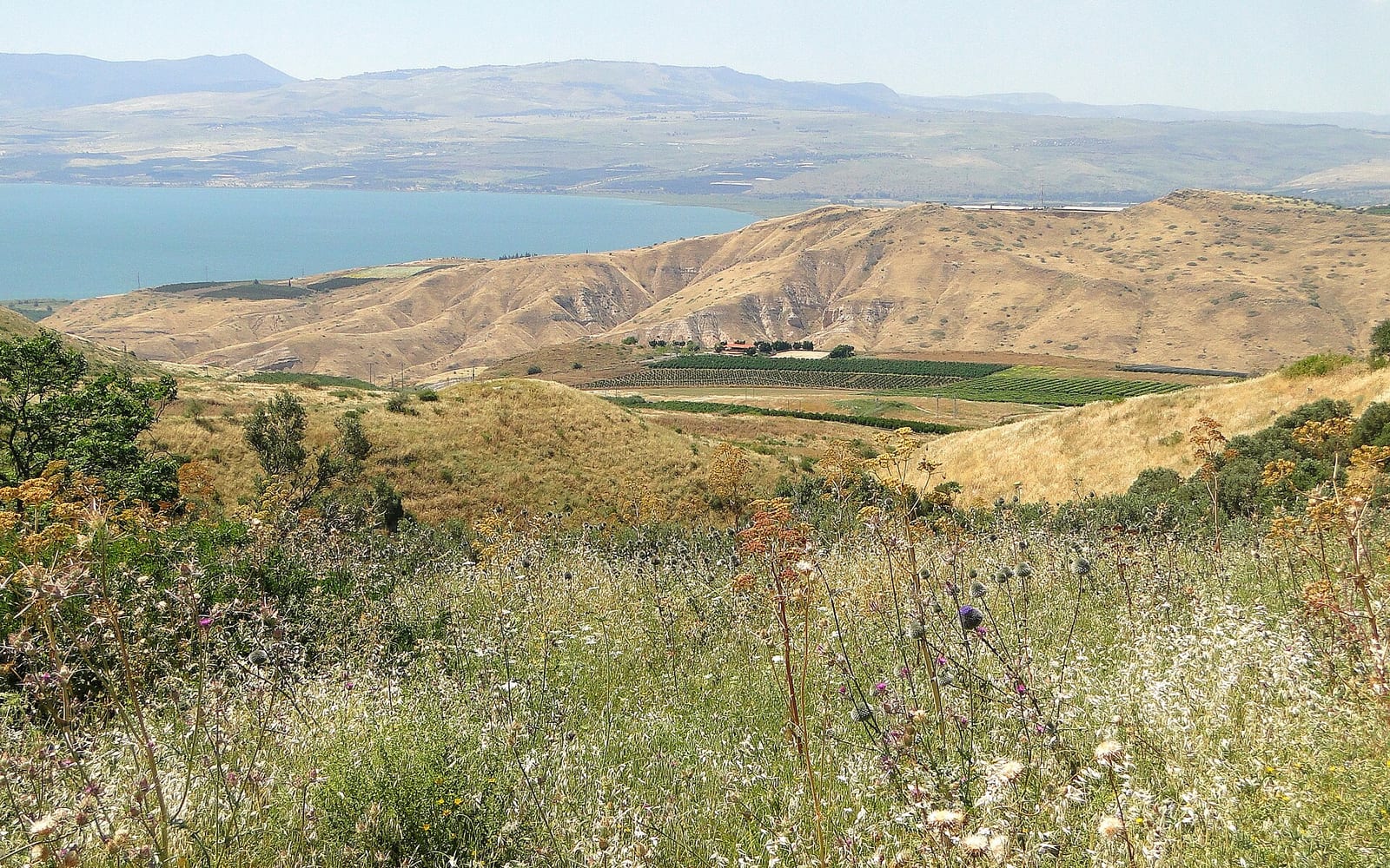
The summit of the tel — accessible via the archaeological site’s walking trail — provides a 360-degree panorama over the Jezreel Valley (Valley of Armageddon). The valley is one of the most fertile agricultural plains in Israel: a wide, flat basin flanked by the Mount Carmel ridge to the west, Mount Gilboa to the east, and Mount Tabor to the north.
The geography explains the site’s strategic importance more vividly than any museum display: Megiddo sits on the only practical passage through the Mount Carmel ridge connecting the coastal plain to the Jezreel Valley. Every army moving between Egypt and Mesopotamia through this corridor had to pass Megiddo or make a significant detour. Control of the tel was control of the trade and military route.
The scale of the valley makes the Revelation imagery concrete: this is a very large flat plain. You can see why a landscape-metaphor for an apocalyptic final battle would use it.
The site museum and Megiddo Ivories
The visitor centre at the site entrance includes a well-designed introductory museum. Two elements are worth noting before entering the site:
Scale model of the Iron Age city: A large physical model shows the tel’s layout in its Solomonic or Omride phase — gate, stables/storehouses, palace area, water system. Understanding the site’s planned organisation before walking through the excavated areas makes a significant difference to what you notice.
Megiddo Ivories: Among the Bronze Age treasures found at Megiddo are carved ivory plaques of exceptional artistry — figurative scenes, animals, sphinxes, and decorative borders that represent some of the finest ancient Near Eastern decorative ivory work ever excavated. The originals are in the Rockefeller Archaeological Museum in Jerusalem; the display and interpretive context at Megiddo covers the collection’s significance. If you are continuing to Jerusalem, make a point to see the originals at the Rockefeller.
Location: Megiddo National Park, Kibbutz Megiddo, off Route 65 (Ha’Emek Road). GPS: Kibbutz Megiddo junction, Route 65. From Haifa: Route 70 south to Megiddo junction, approximately 30 km, 30 minutes. From Nazareth: Route 60 south to Route 65 west, approximately 20 km, 25 minutes.
Opening hours: Sunday–Thursday 8:00am–5:00pm; Friday 8:00am–4:00pm; Saturday 8:00am–5:00pm. Verify at parks.org.il before visiting as hours vary seasonally.
Entry: Standard entry approximately ₪35 adults, ₪19 children (check current rates at parks.org.il). The Israel National Parks Pass covers entry. If you plan to visit 2–3 INPA sites on your trip, the pass typically pays for itself.
Audio guide: Available at the site; recommended for independent visitors who want the biblical context alongside the archaeology.
Time needed: 1.5–2.5 hours for a thorough independent visit; 1.5–2 hours for a guided tour group.
Facilities: Car park, visitor centre with café and toilets, good disabled access to the museum and main viewpoints (the water tunnel descent involves stairs).
Combining with other Lower Galilee sites
Megiddo is most efficiently visited as part of a Lower Galilee day circuit by car:
Haifa → Megiddo → Mount Tabor → Nazareth loop (approximately 90 km): Depart Haifa south via Route 70 to Megiddo (30 min); tel visit 1.5–2 hours; drive to Mount Tabor base village Daburiyya (20 km, 25 min) and take the licensed summit taxi; Nazareth is 10 km from Tabor base. Return to Haifa via Route 75 north through Yokneam junction. Full day.
For this circuit and all Galilee tours from Haifa, Tel Aviv, or Jerusalem, see the day trips from Haifa guide and the Galilee tours compared guide.
Useful links
For the Mount Tabor site 20 km north-east — the Basilica of the Transfiguration and summit panorama — see the Mount Tabor visitor guide. For the broader Jewish heritage and archaeological site landscape of Israel, see the Jewish heritage travel guide.
For the Israel National Parks Pass covering Megiddo and dozens of other INPA sites, see the Israel National Parks Pass guide. For day trips from Haifa including Megiddo as a Lower Galilee option, see the day trips from Haifa guide. For car hire in Haifa and the Galilee region, see the car rental Israel guide.