Rosh Hanikra (Hebrew: רֹאשׁ הַנִּיקְרָה; Arabic: رأس الناقورة, Ra’s an-Nāqūrah) marks the northernmost point of Israel’s Mediterranean coast — a wall of brilliant white chalk cliffs where the Lebanon border runs just 100 metres north of the cable car station. Below the cliffs, the sea has carved a network of grottoes over millions of years: tunnels, arches, and chambers lit by surging turquoise water. Above them, the sealed eastern portal of the old Haifa–Beirut railway tunnel sits exactly at the border line, a concrete reminder of a time when the Levant’s coasts were connected.
This guide covers the complete Rosh Hanikra experience: the grottos and cave walkways (accessed by cable car, restored to operation in 2025), the border viewpoint, the railway history, HaTzuk restaurant, and how to plan a northern coast day combining Akko and Rosh Hanikra.
The sea grottos
Geology: chalk cliffs and wave erosion
The Rosh Hanikra cliffs are formed from soft Eocene chalk — the same pale limestone that makes the white cliffs of Dover and the beaches of Normandy. The rock is softer than the harder limestone found elsewhere on Israel’s coast, and over millions of years the Mediterranean has cut through it at multiple fault lines, carving the cave system visible today. The result is a series of intersecting tunnels and chambers where the sea enters through low arches at the base of the cliff, floods the floors, and surges dramatically when swells arrive.
The colour of the water inside the grottos — an intense blue-green that bleaches nearly white as waves recede — comes from the chalk sediment held in suspension. On calm days the water is glassy and the chambers are quiet; after a strong northwest swell, the same passages echo with the force of the surge. Both conditions are worth seeing.
The cable car descent
Cable car back in operation. The cable car was closed during the 2023–2025 war period and restored to operation in 2025. Current admission is ₪53 adult / ₪43 child (cable car roundtrip included); verify the current rate at kkl-jnf.org as prices are updated periodically. The cable car does not run on Shabbat or during high-sea warnings.
When operating, the cable car descends approximately 70 metres down the cliff face in about 90 seconds, arriving at a platform directly at sea level inside the chalk cliff. Capacity is roughly 40 passengers per run; on weekends and public holidays queues can build. Arriving before 10am on a weekday all but eliminates the wait.
If the cable car is temporarily closed for maintenance, KKL-JNF uses the historic Ottoman railway tunnel as an alternative lower-grottos access route — a shorter walk-in experience but still allowing visitors to see the main grotto chambers. Check at the ticket booth on arrival if you are unsure which route is active.
When operating, the cable car does not run:
- On Shabbat (Friday sunset to Saturday night)
- On Yom Kippur
- During high-sea warnings or strong storms
- During scheduled maintenance (check kkl-jnf.org for notices)
The grotto walkways
From the cable car platform, wooden boardwalks lead through approximately 300 metres of interconnected caves. The main features on the route:
| Feature | What to see |
|---|
| Entry tunnel | Low-ceilinged chalk passage; wave surge audible before visible |
| Blue Grotto | Largest chamber; sea enters through wide low arch; turquoise water surges across flat floor |
| Tunnel of Love | Narrower passage; wave energy concentrated into a visible pulse |
| The Cauldron | Circular chamber where surge water spins in a vortex pattern on active sea days |
| Exit arch | Elevated viewpoint over the open Mediterranean |
The walkways are well-lit and have railings throughout. Surfaces can be slippery — water shoes or grip-soled sandals are more comfortable than smooth-soled footwear. Strollers cannot navigate the cave section; the above-cliff areas are stroller-accessible.
Photography conditions inside the grottos depend on sea state. On calm days, long-exposure shots of still blue water work well; on active swell days, faster shutter speeds are needed to freeze the surge. The exits to the open sea are the best spots for natural light.
The border viewpoint
Above the cable car station, a viewing terrace looks north along the coast toward Lebanon. The Israel-Lebanon border runs through a UN buffer zone (UNIFIL-monitored); the demarcation line is approximately 100 metres north of the cable car top station. The Israeli side is fully accessible to visitors; the border itself is fenced.
The viewpoint is worth 10–15 minutes. On clear days the Lebanese coast is visible northward; south, the coastal plain stretches back toward Nahariya and Akko.
Do not attempt to approach the fence or the border area. Stay on the marked visitor paths. The site is in a standard civilian tourism zone — there are no military restrictions on the KKL-JNF managed grounds — but the border itself is a security line. Link your home government’s current travel advisory via is-israel-safe for general northern Israel context.
The Ottoman railway tunnel
One of the less-visited but historically resonant features at Rosh Hanikra is the sealed eastern portal of the railway tunnel that passes through the chalk headland. The Haifa–Acre–Beirut rail line — built initially under Ottoman rule and completed under British Mandatory administration — carried passengers and freight along the entire Levantine coast until 1948, when the line was severed and the tunnel blocked at the armistice line.
The tunnel entrance is visible from the viewpoint area: a concrete arch embedded in the cliff, sealed with masonry. The western portal is on the Lebanese side; the line beyond was absorbed into the Lebanese rail network, which itself collapsed in the 1970s and is now derelict throughout.
For rail history enthusiasts, the Haifa–Beirut line represents one of the great “what might have been” stories of the Middle East — a coastal connection from Egypt to Turkey that once ran as a single system. The sealed portal at Rosh Hanikra is the most tangible remnant of that network on the Israeli side.
Planning your visit
Combining Rosh Hanikra with Akko
The classic northern coast combination runs Akko in the morning and Rosh Hanikra in the early afternoon — a full-day circuit that works easily by car or on a guided tour.
Suggested timing:
- 8:30am — arrive Akko, park near the Old City
- 8:45–11:30am — Crusader halls + Templar Tunnel + Khan al-Umdan (2.5 hours)
- 11:30am–12:15pm — lunch in the Old City market or fish restaurant at the port
- 12:30pm — drive north on Highway 4 toward Nahariya and Rosh Hanikra (30 min)
- 1:00–2:30pm — Rosh Hanikra cable car + grottos + border viewpoint
- 2:30pm — return south; option to stop in Nahariya beach for 1 hour
This schedule gives you the full Akko experience before the coach crowds peak around midday, and reaches Rosh Hanikra when the morning queue has eased but the cable car is still running well within operating hours. See the Akko (Acre) guide for the full UNESCO Crusader city orientation.
Getting there by car
Highway 4 (the old coastal road, not Highway 2 which is the fast inland motorway) runs directly to the site. From Haifa, take Highway 4 north through Akko and Nahariya; the Rosh Hanikra junction is signposted approximately 5 km north of Nahariya city centre. Parking is available at the site.
From Tel Aviv, take Highway 2 to Haifa and then switch to Highway 4 north. Total drive approximately 1 hour 45 minutes.
Getting there by public transport
Trains run frequently from Tel Aviv HaSharon and Haifa to Nahariya Central Station (direct or with one change). From Nahariya Central Bus Station, a taxi to Rosh Hanikra costs approximately ₪40–60 (5 km); there is no regular bus service covering the final leg. Sherut shared taxis may be available at busy summer periods — check locally at Nahariya station.
If relying on public transport, book return taxi in advance or confirm availability for the return journey before descending to the grottos, as taxis at the site are not always waiting.
Practical checklist
- Cable car operating: cable car restored 2025; check kkl-jnf.org for current hours and any scheduled maintenance before visiting
- Camera / phone: charged; sea spray is minimal inside the grottos
- Footwear: grip soles; the boardwalk can be wet
- Layers: the grotto interior is noticeably cooler than the cliff-top; a light jacket is useful in autumn–winter
- Dining: HaTzuk, a chef restaurant, opened at the site following the 2025 reopening — a meal here makes the trip a longer half-day outing
- Water and snacks: a café also operates at the top station; the cave level has no facilities
- Cash or card: the site accepts payment at the ticket station; ATMs are available in Nahariya
- Timing: arrive early on weekends to avoid queues — the cable car is popular and runs at capacity during peak hours
- Shabbat: the site closes Friday afternoon and does not reopen until Saturday night — plan around this; see the Shabbat guide for Friday closing times by season
Admission and INPA pass note
Rosh Hanikra is managed by KKL-JNF, not by the Israel Nature and Parks Authority. The Israel National Parks Pass is not valid here. Admission is charged separately at the site’s ticket desk. Current admission is ₪53 adult / ₪43 child (cable car roundtrip included); verify the current rate at kkl-jnf.org as prices are updated periodically.
For parks that DO accept the National Parks Pass, see the Israel National Parks Pass guide.
Nearby sites
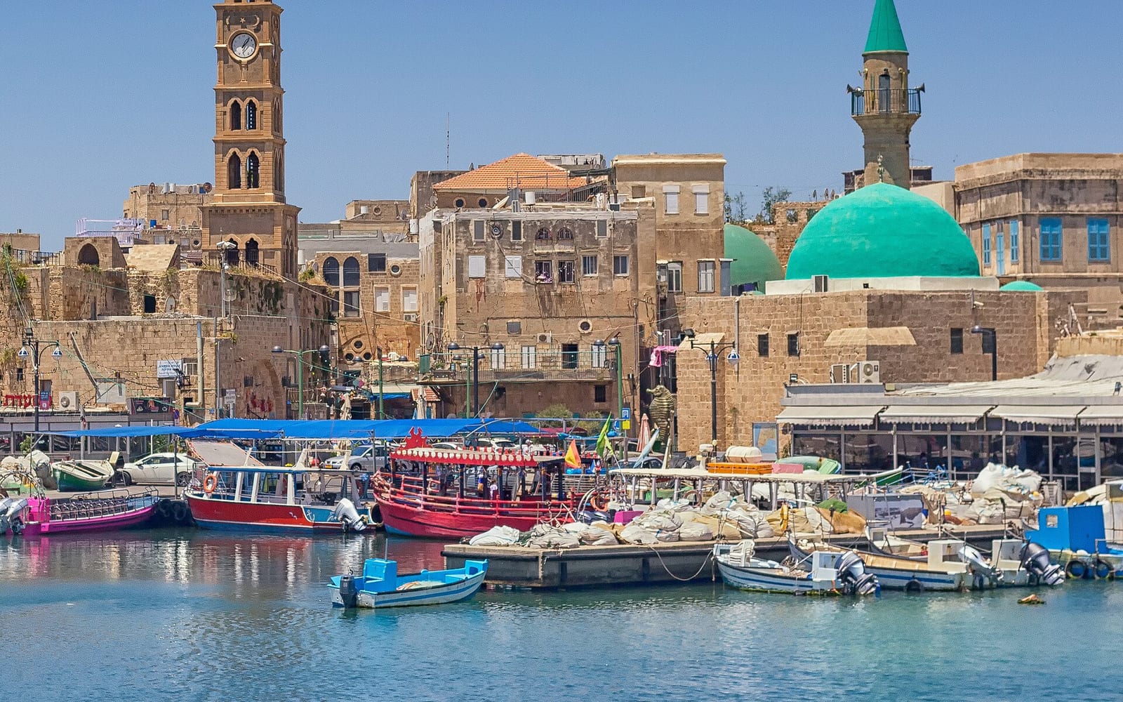
Akko (30 km south) — UNESCO Crusader city with underground Templar Tunnel, Khan al-Umdan caravanserai, Ottoman souk, and working fishing harbour. The natural pairing with Rosh Hanikra — see the Akko (Acre) visitor guide.
Nahariya (5 km south) — the closest town to Rosh Hanikra; a relaxed Mediterranean beach city with a seaside promenade and the nearby Nahal Kziv nature reserve for a short walking detour.
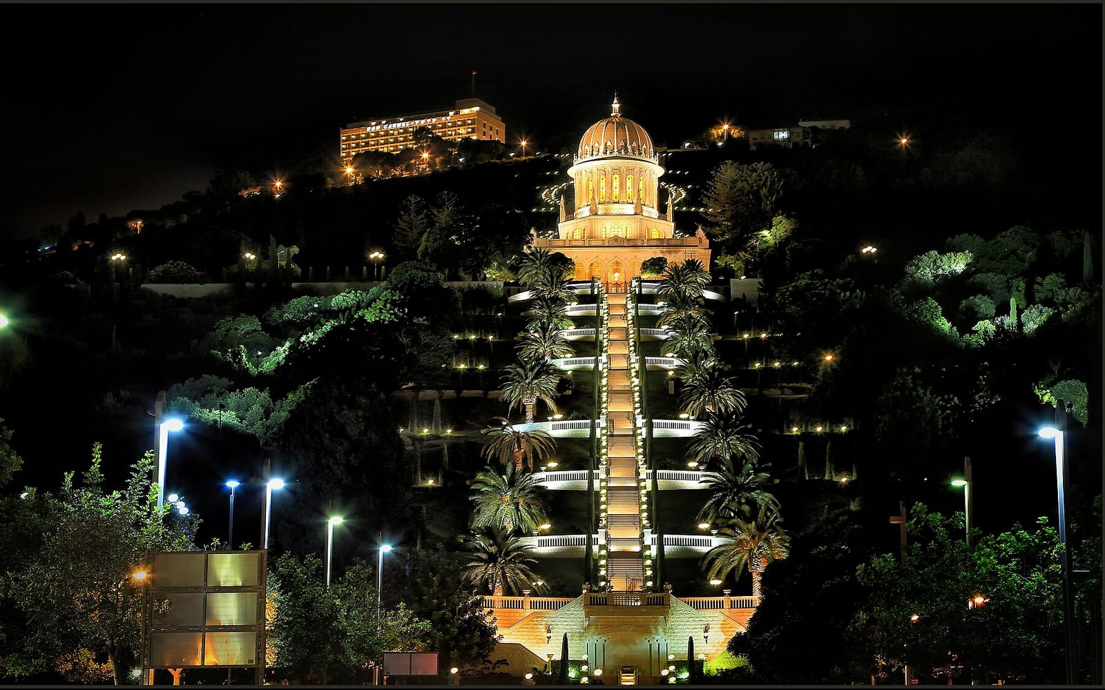
Haifa (45 km south) — Bahá’í World Centre terraced gardens, Carmelit funicular, German Colony, and Wadi Nisnas neighbourhood. See the Haifa travel guide.
Western Galilee circuit — Rosh Hanikra is the northern anchor of the Western Galilee touring circuit, which links Akko, Montfort Castle, Nahal Kziv water hike, and the Druze villages of the Western Galilee.
Nimrod Fortress and the Golan — for drivers continuing east from Rosh Hanikra, the Golan Heights are 1.5–2 hours inland via Routes 89 and 99. See Northern Israel road trip for a multi-day circuit.